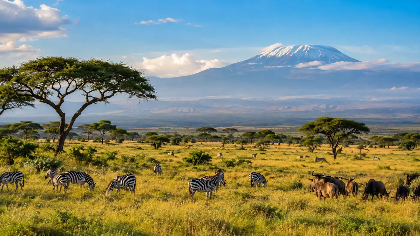
Serengeti Plains: Geography, Size, and Landscape
The first time I saw the serengeti plains stretching toward the horizon, my brain struggled to register the scale. You look out from an open safari hatch and there are no power lines, no distant billboards, and no foothills breaking the line where pale grass meets blue sky. It feels less like standing on dry dirt and more like floating in the center of an enormous golden ocean.
Most travelers imagine a flat circle of yellow turf with a lone acacia tree in the middle. The physical reality of the terrain is far stranger and more varied than nature documentaries let on. Beneath the surface lies an intricate geological story shaped by active volcanoes, ancient granite boulders, and sweeping river systems. Knowing how this massive landscape fits together completely changes how you experience a safari across northern Tanzania.
Book your serengeti safari tours experience:
What Are the Serengeti Plains? Meaning, Definition, and Biome
The word Serengeti comes from the Maasai language word siringet, which translates roughly to "the place where the land runs on forever." When you stand on the southern grasslands after a rain shower, that name makes total sense. Your eyes strain to find any physical boundary, and you realize the horizon simply curves away with the surface of the earth.
If someone asks what biome is the Serengeti, the technical answer is a tropical savanna and grassland biome. It is a mosaic of open plains, wooded savannas, riverine forests, and swampy hollows. People occasionally ask if the Serengeti is a desert. It is not. You will hear references to a serengeti desert in older travel memoirs, but that confusion comes from the hyper-dry look of the southern plains between August and October, when the grass turns brittle and dust devils spin across empty flats. Rain falls here in distinct cycles, dumping between 500 and 1,200 millimeters of water across the region every year.
The Serengeti National Park UNESCO World Heritage Site designation came through in 1981. The United Nations recognized it because the land hosts the largest intact terrestrial mammal migration remaining on the planet. Millions of hooves move across the terrain in a continuous loop dictated purely by the chemistry of the grass and the arrival of rainfall.
Note: Pronunciation can trip people up before arriving. Say it as "seh-ren-GET-ee" with equal weight on the first two syllables and a firm bounce on the third.
Where is the Serengeti Plain Located?
Locating the plain on an African map requires looking directly at northern Tanzania, right along the border with southwestern Kenya. The ecosystem sits tucked between the Great Rift Valley to the east and Lake Victoria to the west. If you look at an east Africa map, the coordinates rest roughly between one and three degrees south of the equator.
The park itself does not have physical fences. Wild animals do not care about bureaucratic boundaries, so the plain bleeds into neighboring reserves. To the north, the plains cross an invisible international boundary line to become Kenya's Maasai Mara. To the southeast lies the volcanic bowl of the Ngorongoro Conservation Area, and to the west, private reserves and community wildlife management areas run right up against the shores of Speke Gulf on Lake Victoria. For a deeper breakdown of boundaries and access points, see our guide on where is the Serengeti and how to navigate its regions.
Reaching this remote part of Africa usually means landing at Kilimanjaro International Airport, spending a night in Arusha, and taking a rugged eight-hour drive through Ngorongoro or hopping into a bush plane. Flying in gives you an unforgettable lesson in African geography. You watch green mountain farms vanish, replaced by dry rift escarpments, before the world flattens into endless golden plains beneath the wings of your twelve-seater Cessna.
How Big is the Serengeti? Size and Boundaries
Putting numbers on the serengeti plain depends entirely on whether you mean the formal national park or the wider ecosystem. Serengeti National Park covers approximately 14,763 square kilometers (roughly 5,700 square miles). That makes the park alone larger than the state of Connecticut or the entire nation of Montenegro.
The greater Serengeti ecosystem spans more than 30,000 square kilometers. This broader footprint includes the Maasai Mara National Reserve, Maswa Game Reserve, Ikorongo and Grumeti Reserves, Loliondo Game Controlled Area, and the open plains of northern Ngorongoro. Because animals roam freely across these borders, treating them as separate ecological islands makes no sense.
| Serengeti Region | Average Elevation | Landscape Character | Water Sources |
|---|---|---|---|
| Southern Plains | 1,600 to 1,800 m | Treeless, open short-grass prairie on volcanic ash | Seasonal pans, Lake Ndutu, Lake Masek |
| Central (Seronera) | 1,450 to 1,600 m | Acacia woodlands, broad valleys, scattered kopjes | Seronera River (year-round pools) |
| Western Corridor | 1,150 to 1,300 m | Black-cotton clay soil, riverine gallery forest | Grumeti River, Mbalageti River |
| Northern Serengeti | 1,500 to 1,850 m | Rolling green hills, dense woodland, rocky ridges | Mara River, Bologonja River |
Elevation climbs as you move east and north. Down near Lake Victoria, the Western Corridor drops to around 1,150 meters above sea level. Climb toward the Kenyan border or head southeast toward the Crater Highlands, and you find yourself standing at 1,800 meters. Nights on those elevated southern plains get surprisingly chilly. I slept in a canvas tent near Ndutu in February and woke up shivering under three heavy wool blankets with frost clinging to the grass outside.
Book your serengeti safari tours experience:
The Four Landscapes of the Serengeti
The ecosystem is not a monotonous sheet of turf. The park divides naturally into four distinct ecological zones, each with its own weather, plant life, and soil structure.
The Southern Plains represent the postcard image of the Serengeti. From late December through April, these flat, lime-rich expanses are carpeted in tender green shoots. Millions of wildebeest and zebra gather here to drop their calves over a frantic three-week period. Trees cannot grow here because a subterranean layer of calcified volcanic ash acts like concrete, stopping tree roots from finding deep water. You see nothing taller than an ostrich for forty miles.
Moving north brings you into the Central Seronera Valley. This is where the landscape softens into open acacia woodland. The Seronera River meanders through the center, maintaining permanent waterholes even during brutal dry seasons. Because water stays available, resident wildlife packs into this valley. Leopard sleep in sausage trees above the riverbanks, and lions use the surrounding rocky outcrops to spy on passing topi and impala.
Pro tip: If you want to photograph big cats against classic African granite, spend your mornings around the Moru Kopjes in the south-central plains rather than chasing crowded sightings near the Seronera airstrip.
Head west down the long funnel known as the Western Corridor, and the world turns swampy. The soil shifts to thick, black-cotton clay that turns to treacherous grease after five minutes of rain. Two major waterways, the Grumeti and Mbalageti rivers, drain this corridor into Lake Victoria. Dense gallery forests hug the banks, home to black-and-white colobus monkeys and gigantic Nile crocodiles that wait for migrating herds to cross in June.
The Northern Serengeti looks entirely different. It features rolling hills, rocky knolls, and oak-like broadleaf woodlands. It resembles the Scottish Highlands if someone painted the turf olive green and dropped elephants into the glens. The dramatic Mara River cuts through this northern sector, creating steep clay cliffs where wildebeest plunge into torrential water every year from July to October. Tracking this movement requires careful timing, which you can read about in our Serengeti Great Migration safari guide.
- Kopjes: Ancient granite islands that burst out of the flat plains, providing shelter, shade, and lookout points for predators.
- Riverine forests: Thick ribbons of figs, fever trees, and palms that grow along the Grumeti and Mara rivers, supporting specialized forest birds.
- Black-cotton depressions: Low-lying drainage areas that flood easily, creating seasonal swamps that trap unwary safari vehicles.
- Woodland savannas: Broad bands of whistling thorn and umbrella acacias that dominate the northern and central interior.
Geology, Kopjes, and Volcanic Ash
The entire plain owes its existence to the violent birth of the Great Rift Valley. Millions of years ago, tectonic forces pulled eastern Africa apart. Volcanoes erupted in the east, coating the surrounding landscape with billions of tons of fine ash. One active volcano still sits on the edge of the ecosystem today: Ol Doinyo Lengai, which the Maasai revere as the Mountain of God. It spews an unusual natrocarbonatite lava that breaks down into sodium and potassium carbonates, enriching the southern soils with minerals that lactating wildebeest need to produce milk.
The ash settled over ancient Precambrian basement rock. In areas where rain soaked into the ash, it leached calcium carbonate downward, forming a subterranean hardpan layer known locally as caliche. This hardpan rests just twenty to fifty centimeters beneath the grass. Deep taproots cannot punch through it, which is the exact reason why the southern Serengeti remains completely treeless. The grass lives, flowers, and dies on top of a subterranean shelf of natural cement.
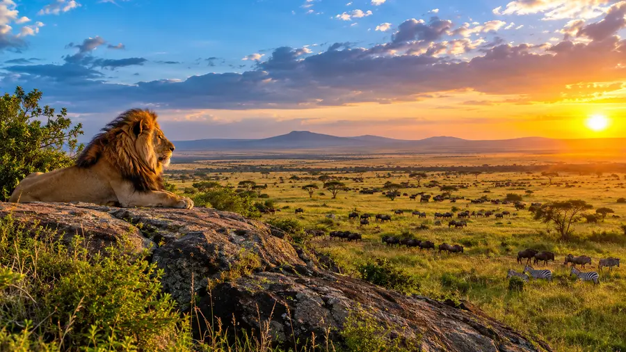
Where the soil has eroded away completely, massive mounds of ancient granite stand exposed to the wind. These are kopjes (pronounced "copy-ees"). Geologists estimate that the rock forming the Simba, Gol, and Moru kopjes is over two billion years old. Rain gathers in natural hollows in the stone, creating miniature freshwater worlds where red-headed rock agamas scuttle and hyraxes nest.
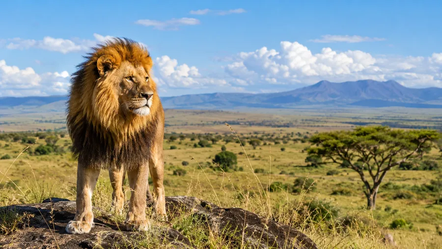
Predators treat kopjes like castles. A lioness resting on top of a thirty-foot granite boulder enjoys a cool breeze, freedom from biting flies, and a panoramic view of zebra herds grazing three miles away. Without these rock towers, predator distribution across the southern plains would look radically different.
- Tire care: Volcanic dust and sharp quartz grit on park tracks wear rubber down quickly; always carry two working spare tires.
- Dust protection: Fine silt penetrates camera bodies and electronics effortlessly; keep your gear sealed in dry bags while driving.
- Seasonal route planning: Black-cotton mud in the Western Corridor can swallow a four-wheel-drive vehicle up to its axles during April and May.
- Sun glare: The southern short-grass plains offer zero natural shade; polarized sunglasses are mandatory to prevent eye strain across the white-yellow grass.
Frequently Asked Questions about serengeti plains
What does Serengeti mean?
Serengeti comes from the Maasai word siringet, which means "the place where the land runs on forever." It refers directly to the endless visual horizon of the treeless southern grasslands.
Where is the Serengeti plain located on an Africa map?
The plain sits in northern Tanzania, south of the Kenya border and east of Lake Victoria. It rests entirely within the East African Rift system, roughly 330 kilometers northwest of Arusha.
Is the Serengeti a desert?
No, the Serengeti is a tropical grassland and savanna biome. While the southern plains dry out and look desolate between August and October, the ecosystem receives up to 1,200 mm of rain annually, sustaining massive wildlife herds.
How big is the Serengeti National Park?
The national park spans 14,763 square kilometers (roughly 5,700 square miles). If you measure the entire interconnected ecosystem, including adjoining reserves in Tanzania and Kenya, the area exceeds 30,000 square kilometers.
Why are there no trees on the southern Serengeti plains?
Volcanic ash from ancient Rift Valley eruptions formed an underground hardpan layer of calcium carbonate. Tree roots cannot penetrate this dense layer to reach the water table, leaving the land open only to shallow-rooted grasses.
Is visiting the Serengeti safe for tourists?
Yes, visiting is very safe. Tourism in Tanzania is highly regulated, roads between established camps are regularly patrolled by park rangers, and professional guides undergo rigorous safety training regarding wildlife behavior.
Quick Reference
- Total park size: 14,763 sq km (5,700 sq miles)
- Ecosystem size: Over 30,000 sq km
- Biome: Tropical savanna and grassland
- UNESCO listing year: 1981
- Elevation range: 1,150 m to 1,850 m
Book your serengeti safari tours experience:
The Bottom Line
Reading about the geography of the plains is one thing, but standing on a kopje while a warm breeze rushes across hundreds of square miles of open grass is something you will feel in your ribs. The Serengeti is not a static backdrop for game drives. It is an active, shifting terrain where volcanic chemistry, stone outcrops, and seasonal rain dictate every single movement of the natural world. Take your time driving across it, watch how the soil changes color beneath your wheels, and give the land the slow attention it deserves.
Read more about serengeti safari tours.