Where Is the Serengeti? Location, Maps, and Regions
Most people know the name before they ever book a flight. They picture amber grass under an enormous sky, lions lounging on granite boulders, and herds of wildebeest kicking up dust. Still, pinpointing exactly where is the serengeti on an unmarked globe trips up plenty of people. You hear about it mixed in with Kenya, you hear about it tied to Mount Kilimanjaro, and sometimes people talk about it as if it were an entire country unto itself. It is not.
The short answer is straightforward. The Serengeti sits in northern Tanzania, tucked neatly into East Africa. It sprawls westward toward the damp shores of Lake Victoria and climbs north until it meets the Kenyan border. There, the dirt does not change, but the name does, turning into the Maasai Mara. To understand how the park works, though, you need to look closer at its specific corners, because a trip to the south feels worlds apart from a week spent along the Mara River in the far north.
Book your serengeti safari tours experience:
What Country Is the Serengeti In?
Serengeti National Park is entirely inside Tanzania. If someone asks which country is home to Serengeti National Park, Tanzania holds the deed, managing roughly 14,763 square kilometers of protected land. It falls across three administrative regions: Mara, Simiyu, and Arusha. The border with Kenya is real, guarded by rangers and marked on navigational charts, yet animals do not carry passports.
This is where confusion usually creeps in. People ask whether the Serengeti is in Kenya or Tanzania. The national park itself belongs strictly to Tanzania. The greater Serengeti ecosystem, however, is a larger geographic entity covering around 30,000 square kilometers. That larger system bleeds across the international boundary into southwestern Kenya, where it forms the Maasai Mara National Reserve. They are two halves of the same biological engine.
If you stand on the northern edge of the park looking across the Mara River, Kenya is right in front of you. You might see elephants wandering across the invisible line without a second thought. For humans, crossing requires border posts, yellow fever cards, and immigration desks far away from the dirt tracks of the bush. If you want to dive deeper into the dirt, terrain, and size of the habitat, our breakdown of the Serengeti plains geography and facts lays out the exact geology beneath your boots.
Note: You cannot cross directly between Serengeti National Park and Kenya's Maasai Mara through the bush border. The Sand River border post remains closed to regular tourist traffic, meaning vehicles must drive around through the formal Isebania or Namanga border gates.
Reading the Serengeti Map: Boundaries and Coordinates
Look at an Africa map and find the equator. Move your finger slightly south, right into the eastern rift zone. Serengeti National Park lies between latitudes 1°28' and 3°17' South, and longitudes 34°44' and 35°43' East. That puts it about 335 kilometers northwest of Arusha, which serves as the safari capital for northern Tanzania.
The boundaries of the park are defined by a mix of natural barriers and surveyed lines. On the eastern flank, the landscape climbs toward the volcanic highlands of the Ngorongoro Conservation Area and the Loliondo Game Controlled Area. Southward, the plains spill across flat ground into the Maswa Game Reserve. To the west, the park tapers into a slender bottleneck known as the Western Corridor, which stops just 8 kilometers short of Speke Gulf on Lake Victoria. Northward, it runs up to the Kenyan frontier.
Maps of the Serengeti National Park can be deceiving because the scale is so vast. You look at a paper map at Naabi Hill Gate and think Seronera is a quick skip away. It takes two hours of rattling your teeth out over washboard gravel to get there. Distances here are measured in driving hours rather than kilometers because the black cotton soil and muddy ruts dictate everything.
The Four Main Regions of Serengeti National Park
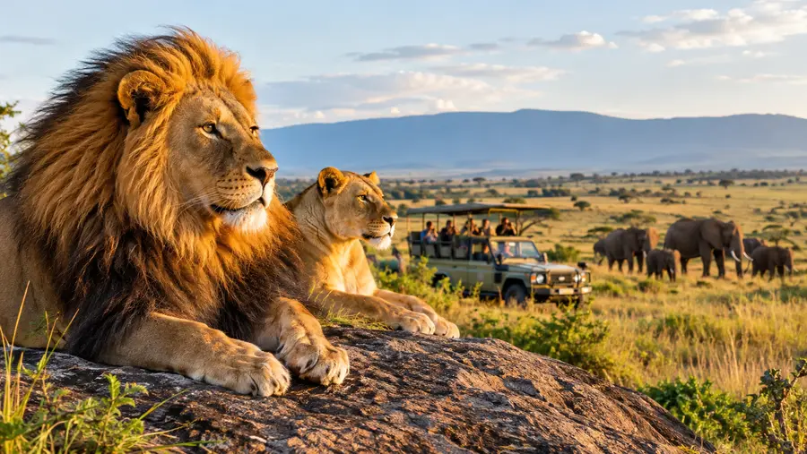
The park is too large to treat as a single destination. Most guides slice the park into four distinct geographic sectors, each with its own weather quirks, vegetation types, and seasonal concentrations of wildlife. Where you choose to go should depend entirely on what time of year your flight lands.
Southern Serengeti is wide open grassland. Trees are almost nonexistent here because shallow volcanic hardpan prevents deep roots from taking hold. Between December and March, this empty space turns into a sprawling nursery for millions of wildebeest and zebras. The nutrient-dense soil feeds the mothers while they give birth to roughly 8,000 calves a day. When the rains stop, the grasses wither fast, and the herds move on.
Central Serengeti, anchored by the Seronera River Valley, stays green and busy year-round. This is where most first-timers end up. It has resident water, dense thickets, and big granite outcroppings called kopjes that leopards love to sleep on. It gets crowded with white Land Cruisers, but the predator sightings here are consistently reliable even in the dead of the dry season.
The Western Corridor follows the path of the Grumeti River toward Lake Victoria. Here, the open plain yields to riverine forests, clay pans, and thick acacia woodland. It gets interesting in May and June when migrating herds pile up along the riverbanks, facing enormous Nile crocodiles that wait months for this feast. It is hot, humid, and wilder than Seronera.
Northern Serengeti stretches through rolling hills, rocky ridges, and open woodland up to the Kenyan boundary. For half the year it is peaceful and empty. From July to October, it turns into a theater of chaos as herds plunge across the Mara River. Our Serengeti Great Migration safari guide breaks down the exact river crossing timing and movement patterns across these zones throughout the calendar year.
- Central (Seronera): Year-round resident predators, granite kopjes, and river valleys with high safari vehicle density.
- Southern Plains: Flat, treeless plains famous for the wildebeest calving season from late December through March.
- Western Corridor: Grumeti River crossings, dense woodlands, and swampy clay soil best visited from May to July.
- Northern Serengeti: Dramatic Mara River crossings, kopjes, and green hills running right up against the Kenyan border from July to October.
Book your serengeti safari tours experience:
How to Get to Serengeti National Park
Getting into the park comes down to two choices: you either drive the long overland route or pay for a bush flight. Both have merits, and plenty of travelers combine them to save their spines on the return leg.
Driving from Arusha takes roughly 7 to 8 hours without stopping, though almost nobody does it in a straight shot. You typically leave Arusha, drive through the town of Karatu, cross through the rim of Ngorongoro Crater, and drop down through the Naabi Hill gate into the southern grass plains. The road from Ngorongoro gate to Seronera is notorious. It is unpaved, dusty, corrugated, and will shake every loose screw in your safari truck.
Flying saves enormous amounts of time. Small regional airlines operate single-engine Cessna Caravans out of Arusha Airport (ARK) or Kilimanjaro International Airport (JRO). Flights take roughly 50 to 90 minutes depending on which dirt strip you are landing on. You step off the plane directly onto the grass, meet your guide, and start game viewing before you even check into camp.
Pro tip: Bush planes flying into Serengeti airstrips have a rigid 15-kilogram (33-pound) luggage limit, and your bags must be soft-sided duffels without hard frames or wheels so handlers can shove them into the small belly pods.
There is no single main airport for the Serengeti. Instead, the park uses seven different dirt or gravel airstrips scattered across the landscape, letting you fly right next to where the wildlife herds are stationed at that moment.
- Seronera Airstrip (SEU): The busiest hub in the park, centrally located with fuel, mechanical support, and daily links to Arusha and Zanzibar.
- Kogatende Airstrip: The primary runway for the northern sector and Mara River crossings, running hot from July through October.
- Ndutu Airstrip: Technically inside the Ngorongoro Conservation Area boundary, serving the southern calving plains from December through March.
- Grumeti and Sasakwa Airstrips: Serving private concessions and luxury camps nestled inside the Western Corridor.
- Lobo Airstrip: Tucked into northeastern Serengeti, a quiet strip serving deep wilderness camps far from the river crowds.
Comparing the Serengeti Regions
To pick your base, you have to weigh accessibility, landscape, and timing. Spending two days driving between regions leaves you exhausted on dirt roads, so staying put in the area matching the current season pays off.
| Region | Landscape | Prime Months | Primary Airstrip | Drive Time from Arusha |
|---|---|---|---|---|
| Central (Seronera) | Grass valleys, acacia, kopjes | All year | Seronera (SEU) | 7 to 8 hours |
| Southern Serengeti | Treeless short-grass plains | Dec to Mar | Ndutu (NDT) | 5 to 6 hours |
| Western Corridor | Riverine forests, clay plains | May to Jul | Grumeti / Kirawira | 8 to 9 hours |
| Northern Serengeti | Hills, rocky bluffs, Mara River | Jul to Oct | Kogatende (KOG) | 10 to 12 hours |
I usually recommend splitting a week between Seronera and one seasonal fringe. If you visit in August, spend two nights in the center tracking leopards, then fly up to Kogatende for three nights watching the Mara River crossings. Driving all the way from Arusha to Kogatende in a single day is technically possible, but it takes nearly 11 brutal hours on gravel tracks. Your back will hate you for it.
Accommodations mirror this regional shift. Camps in the south and north are often semi-permanent tented structures that pull up their pegs and pack away onto flatbed trucks when the herds leave. In Central Seronera, you will find substantial stone lodges built on foundations that have stood for forty years.
Frequently Asked Questions about where is the serengeti
What country is the Serengeti located in?
Serengeti National Park is entirely in northern Tanzania. It borders Kenya to the north, where the ecosystem continues as the Maasai Mara, but the park itself belongs to Tanzania.
Can you visit the Serengeti from Nairobi, Kenya?
Yes, but you cannot drive straight across the national park border. You must fly from Nairobi to Kilimanjaro or Arusha to clear Tanzanian customs, or drive around the border posts at Isebania or Namanga before entering the park.
Which airport do you fly into for the Serengeti?
International travelers fly into Kilimanjaro International Airport (JRO). From there, you take a regional hopper flight from Kilimanjaro or nearby Arusha Airport (ARK) straight to one of the bush airstrips inside the park, like Seronera or Kogatende.
How far is the Serengeti from Mount Kilimanjaro?
The eastern gate of the Serengeti is roughly 320 kilometers west of Mount Kilimanjaro. By road, traversing around Ngorongoro and through Arusha takes about 8 to 9 hours. By bush plane, the flight takes around 50 minutes.
Quick Reference
- Country: Tanzania (East Africa)
- Coordinates: 2.3333° S, 34.8333° E
- Total Park Area: 14,763 square kilometers
- Primary Hub: Seronera Valley (Central)
- Main Gateway Town: Arusha (335 km southeast)
Book your serengeti safari tours experience:
My Take
People spend hours stressing over maps, plotting GPS pins, and worrying whether they picked the exact right lodge. Do not overcomplicate it. As long as you fly or drive into the zone where the herds are feeding during your travel dates, the place delivers on every promise it makes. northern Tanzania has managed to preserve something prehistoric and raw here. Just pack light duffels, bring plenty of eye drops for the fine red dust, and let the vastness wash over you.
Read more about serengeti safari tours.